
Holyoke Neighbors by Block
Records for Holyoke neighbors describe different parts of the block. The MassGIS parcel layer is the verified map fallback because a dedicated public Holyoke GIS viewer was not located. It can identify parcel geometry and selected assessor information. The Holyoke assessor then supplies the city tax-roll perspective. A local voter list, requested from the City Clerk, has a different purpose: it can show registered voters on a dated list, subject to confidential-voter rules. Historical street lists and maps explain older blocks rather than current households.
| Source | What It Shows About a Block | Access |
|---|---|---|
| MassGIS standardized parcels | Parcel boundaries, municipality, address or identifier fields, selected owner fields when supplied, and fiscal year | Public map and data; owner fields vary by municipality |
| Holyoke assessor record | Owner of record, situs, tax mailing address, parcel details, and fiscal assessment fields | Patriot WebPro route or assessor counter; not an occupant list |
| Holyoke local voting list | Registered voter names and addresses for the requested list date | City Clerk request, with confidential and protected voters withheld |
| History Room maps and street lists | Historic block layout, printed address listings, and address context | Holyoke Public Library reading-room and database routes |
| Public civic contacts | Ways to reach neighborhood programs or organizations | Public contact, event, or meeting information; no household roster |
Start with the source that matches the question. Parcel records are strongest for land geography and owner-of-record facts. A voter list is a date-specific registration record. A community contact identifies a program route, not a member list. This distinction keeps a search for Holyoke neighbors from becoming a claim about a full household.
Note: Write down the record date and the exact Holyoke situs address, since a block can change through sales, relocations, and updated registration.
Map Holyoke Neighbors by Parcel
The immediate-block method begins with the verified MassGIS standardized Property Tax Parcels map and data. Search or pan to the target street, turn on parcel and road layers, and click the target polygon. The popup can include municipality, parcel or map-lot identifier, address, fiscal year, and selected assessor attributes. Exact fields vary by municipality, so record what the Holyoke result actually displays. The map is a geographic tool, not a people directory.
| Map detail | Use on a Holyoke block | Limit |
|---|---|---|
| Parcel polygon | Find lots touching the target or lying across the road | Shows geography, not who resides there |
| Municipality and fiscal year | Check the correct jurisdiction and data context | Does not date every ownership change |
| Parcel or map-lot identifier | Carry the exact key to the assessor or Registry | Holyoke's local format must be copied as displayed |
| Owner attributes | Provide a possible owner-of-record lead when present | Fields vary and do not establish occupancy |
MassGIS property-tax parcel guidance explains the statewide parcel-data context and fiscal-year variation.
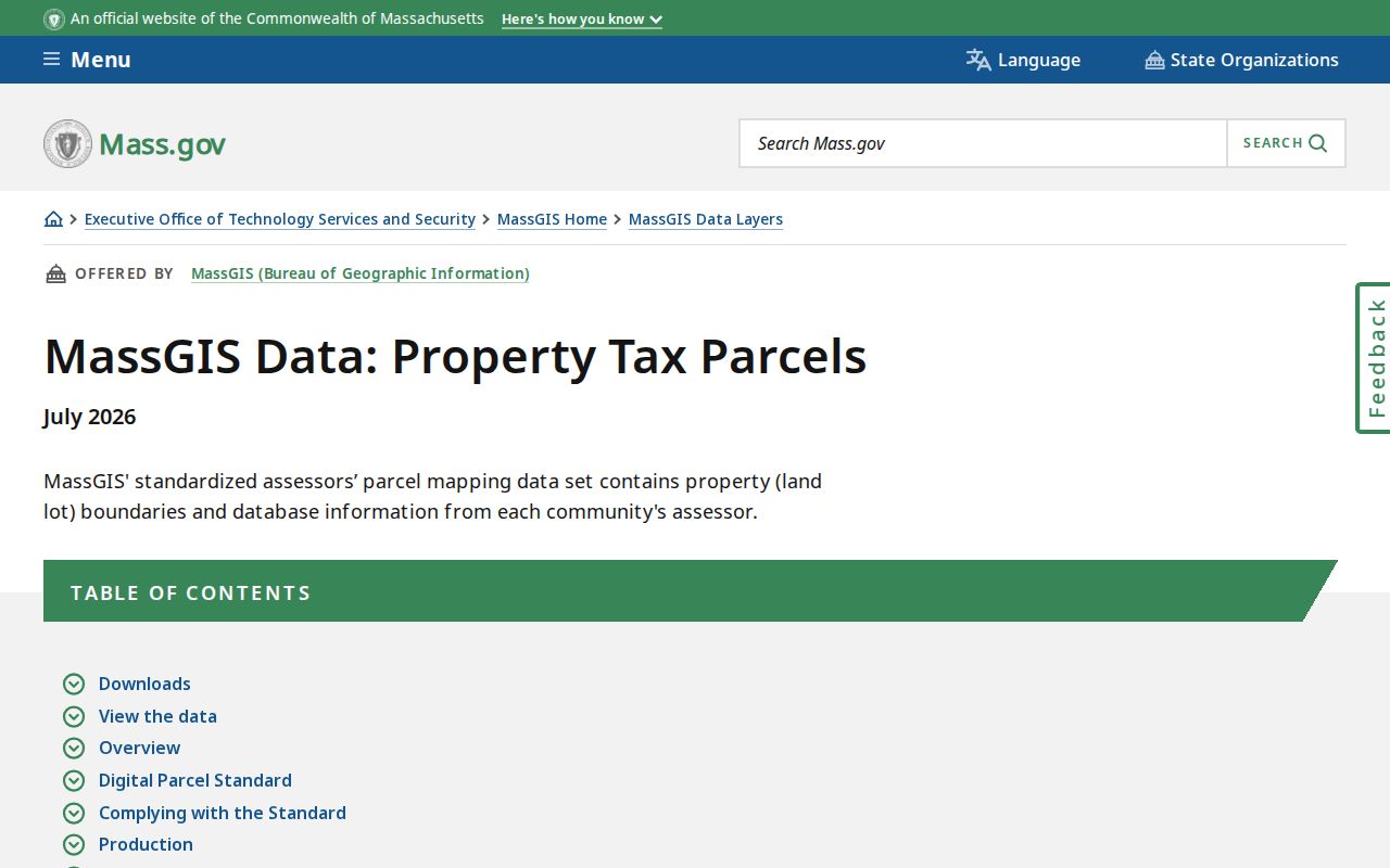
The statewide map is the supported fallback for Holyoke block geography when a city-run viewer is not verified in public sources.
Use this process in order: target address → target parcel → touching parcels and parcels across the road → parcel identifiers → Holyoke assessor records → grouping by situs address. If the viewer offers Identify, Select, measure, or export controls, use them only to document the parcel set. The next fact still comes from the assessor or Registry, not from proximity alone.
Holyoke Parcel Evidence Limits
Adjacent land is not proof that an owner is a neighbor. A MassGIS polygon establishes that parcels touch or sit across a road. The assessor can identify an owner of record and a tax-bill mailing address. That mailing address may be elsewhere in Holyoke, another municipality, a post-office box, a company, or a trustee. The assessor's situs is the property location. Neither field lists all people who live at the address.
Confirm each adjacent parcel through the Holyoke assessor instead of relying on a map label. Its FY2026 assessment route can provide the owner of record, situs, mailing address, property classification, assessed value, and other parcel-card fields when enabled. Treat a homestead or exemption field as tax-status evidence only. It is not conclusive proof of a person's day-to-day residence.
For a broader named-street trail, use the Holyoke by-street directory rather than extending the immediate-block method block by block. The Hampden Registry can then add deed, plan, legal-description, and date information for a parcel, but a deed also records a property transaction rather than a current household roster.
Holyoke Neighbor Voter Records
The state Am I Registered? form cannot browse a Holyoke block. It checks one person only with first name, last name, date of birth, and ZIP code, returning registration information or a no-match notice. For block-level research, request a dated local voting list from the Holyoke City Clerk at 536 Dwight Street. State the ward or precinct when useful, the list date, format, and whether the request concerns registration or voting-history fields maintained by the clerk.
| Official route | Suitable use | Boundary |
|---|---|---|
| Individual OVR status check | Confirm one supplied registration match | No street or block browse |
| Holyoke City Clerk voter list | Obtain a date- and area-specific local public list | Protected and confidential voters are removed |
| Statewide electronic voter file | Limited state-level access described by the Secretary | Not a general public file to download or search |
| Commercial compiled neighbor tools | Possible unverified lead category | Can be stale or merge people; official confirmation remains necessary |
The comparison matters. A local list can document registered-voter presence on its own date, while a statewide status form is a four-field check and the statewide electronic database is not a general public download. Neither path proves that every Holyoke neighbor, renter, or household member is represented.
Note: Ask the City Clerk to apply confidential-voter protections before relying on any local voting-list response.
Holyoke Neighborhood Contact Routes
Public contact routes are often the respectful way to learn about a Holyoke block. The Holyoke Safe Neighborhood Initiative connects local and state public-safety partners, civic and human-service organizations, faith groups, business, education, and residents. The program has a public organizational contact route, but no public member roster was located. That means an address should never be used to infer that someone belongs to the program.
Holyoke Safe Neighborhood Initiative
Neighborhood-oriented partnership with a public organizational contact route. No public member list was verified.
Sheriff Neighborhood Watch
The Hampden County Sheriff's official material lists ward-based Holyoke contacts, including Ward 3. Use the coordinator route, not a resident list.
Greater Holyoke Chamber
Public categories and ZIP search can locate organizations and businesses. The directory does not identify household membership.
History Room
Holyoke Public Library offers historic maps, directories, newspapers, and local collections, with secure material sometimes requiring advance notice.
The Holyoke Public Library History Room is especially useful for older block questions because its maps, street lists, newspapers, directories, yearbooks, and biographical files document past local context. A public meeting notice or contact page is a route to learn how to take part. It is not evidence of an individual's membership.
Holyoke Organization Directory Limits
Community directories serve a different purpose from parcel records. The Greater Holyoke Chamber can help find a public-facing organization or business by category and ZIP. Churches, veteran posts, Rotary, Elks, Knights of Columbus, and other civic groups may publish an event, program, office, or contact route. Most do not publish a complete membership roster. A person’s address does not establish that person is a participant, officer, donor, or attendee.
For historical context, the Holyoke Library's biographical and subject files can point to residents, families, organizations, churches, businesses, neighborhoods, government, and events. Search by a specific name, organization, neighborhood, and approximate date. Library material can preserve a useful historic connection, but a current official record is needed when the question concerns a present address.
Local labels such as South Holyoke, The Highlands, Springdale, Ingleside, and Smith's Ferry can help frame a search, but they are not formal household boundaries. Use a neighborhood term with the parcel situs, ward, map sheet, or cross street to avoid treating a local label as a precise map line.
Holyoke Block History Clues
Historic maps can explain why a Holyoke block looks different from its current parcel layout. The History Room holds the 1895 Sanborn Map of Holyoke and the 1911 Richard's Atlas, along with city directories, printed street lists, municipal registers, and newspaper microfilm. A map can show a building footprint, use, materials, street intersection, and nearby structures. Pair it with a directory or deed when a name or owner must be identified.
For northern Holyoke, Smith's Ferry presents a jurisdiction bridge. The area was annexed from Northampton in 1909, so an older deed, directory, or description may use Northampton, Smith's Ferry, or an older village reference. Search cross streets, surrounding owners, maps, and legal descriptions rather than relying only on a modern house number. No verified official citywide renumbering chronology was found.
Holyoke street lists from 1986 to 2011 and city directories from 1869, 1873–76, and 1882–1991 can help reconstruct prior address context. They are historic published sources. They should not be used as evidence of who lives on a block now.
Holyoke Neighbor Safety Records
Public-safety sources have their own narrow rules and should not be treated as a neighbor directory. Massachusetts Sex Offender Registry Board information is available for Level 3 and qualifying Level 2 classifications through personal-information or town search, with additional request routes described by the state. A public result is limited by classification and legal privacy rules. It does not establish that a person is a Holyoke neighbor, a resident of a particular parcel, or a member of an organization.
Massachusetts SORB public-information guidance describes the classification limits and public request paths.
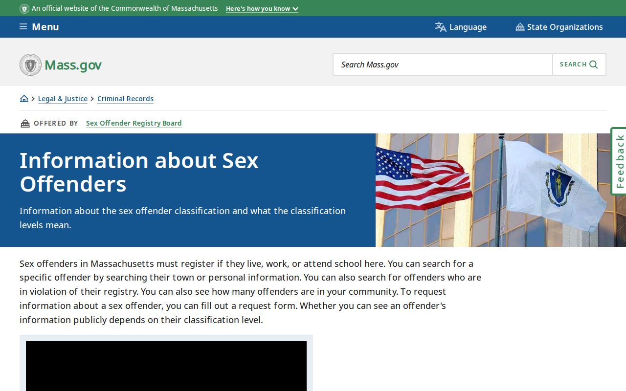
The state source is designed for the limited safety information it describes, not for confirming the occupants of a Holyoke block.
For a threat, stalking concern, or immediate safety issue, preserve relevant evidence and contact the appropriate public-safety authority. Do not approach a person based on a search result, and do not use a public record to watch, harass, or intimidate anyone.
Holyoke Business Address Limits
A business filing can connect a person to an official entity role or a business address, but it cannot establish that the person is a Holyoke neighbor or member of a neighborhood group. The Massachusetts Corporations Search provides Entity Name, Individual Name, Identification Number, and Filing Number modes. It can return filing details, officers, directors, managers, signatories, registered agents, and business addresses according to the entity record.
Massachusetts Corporations Search shows the available public entity and individual modes.
An entity result supports an affiliation or business-address fact only, so it should remain separate from the parcel and voter records used to understand a Holyoke block.
Holyoke Neighbor Privacy Limits
Even a well-documented Holyoke block has private edges. Renters and household members are not all named in assessor or deed records. Utility customers, delivery records, motor-vehicle addresses, and private association rosters are not public block directories. Court and vital material can be sealed or restricted. The right response to a missing, protected, or redacted record is to accept the limit or ask the responsible custodian about the lawful request process.
Lawful personal use. Use Holyoke neighbor records for personal, lawful research, local history, civic questions, reconnection, or safety awareness. Do not use information to stalk, harass, intimidate, or harm anyone.
Massachusetts Address Confidentiality Program protections under M.G.L. c.9A and 950 CMR 130.00 allow qualifying participants to use a substitute address, while confidential voters are withheld from ordinary public voting lists. The actual address is protected except in defined circumstances. These protections also explain why a parcel, voter, or community search may not reveal a person who lives nearby.
Massachusetts Address Confidentiality Program information describes eligible routes, substitute addresses, and application assistance.
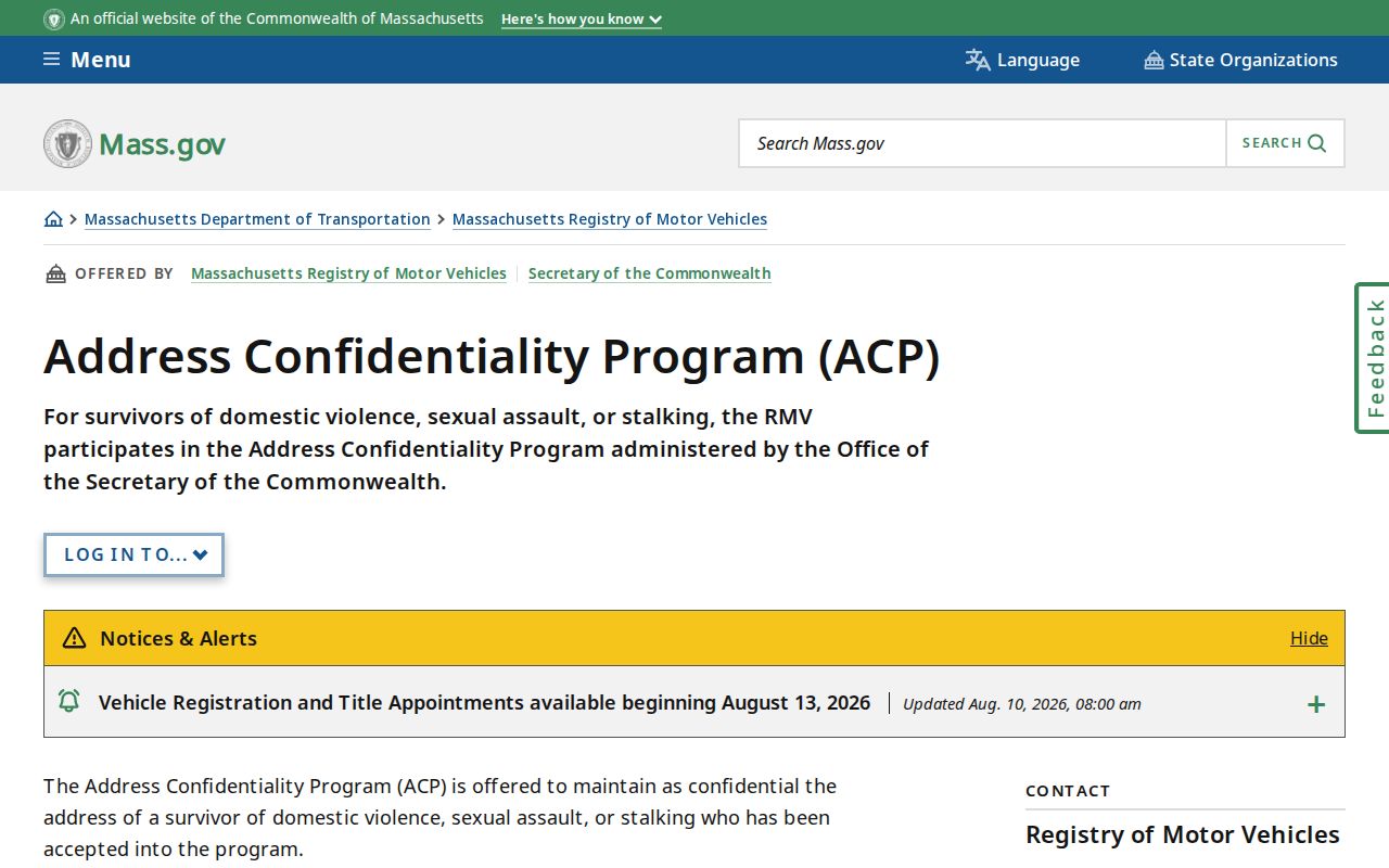
Confidentiality protections mean a missing entry should not be treated as a gap that public tools are meant to overcome.
Note: Keep private information private and use the public contact route when a Holyoke neighborhood question calls for conversation rather than records.