
Holyoke ZIP Code Directory Coverage
Two postal codes appear in the verified Holyoke routing context. They do not do the same job. The ZIP coverage table separates ordinary street delivery from the post-office-box or special-delivery context, which prevents a postal lookup from being mistaken for a residential directory. Confirm a particular address with the USPS ZIP Code Lookup before carrying it to a city or parcel record.
| ZIP | Areas Covered | Post Office | Notes |
|---|---|---|---|
| 01040 | Holyoke standard street delivery | Holyoke routing context | Ordinary residential and business mail delivery; a postal boundary is not proof of city limits. |
| 01041 | Holyoke post-office-box and special-delivery context | Holyoke routing context | No populated 2020 Census ZCTA record; do not use it to infer a street household. |
The table is a research crosswalk, not a substitute for a full street address. USPS routing material lists both codes with Holyoke, but a municipality, assessor situs, and legal description can point to a different record geography. The ZIP code directory is most useful when it narrows a mailing question before an official custodian is consulted.
Holyoke ZIP Code 01040
ZIP code 01040 is the standard street-delivery code for Holyoke. Census 2020 ZCTA data associates 01040 with 38,238 people, a geographic statistic that describes the ZCTA rather than a live list of names or addresses. A ZCTA is a Census approximation of postal ZIP geography, not an official parcel or municipal boundary.
For an ordinary street address, first check spelling, house number, city, state, and ZIP with USPS. Then use the city assessor or MassGIS for the physical parcel. A property result is generally keyed to the situs address or parcel, not to a ZIP-wide browse. No verified Holyoke assessor control for browsing parcels by ZIP was located, so it should not be promised as a search option.
Note: A Census ZCTA count describes a postal-area approximation and should not be read as a list of postal addresses.
Holyoke ZIP Code 01041
ZIP code 01041 is the postal trap in Holyoke research. It is listed in the local routing context as a post-office-box or special-delivery code, but it has no separate populated 2020 Census ZCTA record. That makes it useful for normalizing a mailing result, not for locating a house, apartment, or parcel.
A post-office box receives mail at the post office. It does not supply a person’s street location, legal municipality, or ownership record. The proper response to a 01041 result is to use the full address if one is available, confirm it through USPS, and then search the relevant city, Registry, or local office by its own record key. Do not transform a box ZIP into a household claim.
Note: A PO-box ZIP can be valid postal information while offering no reliable evidence about where the box holder lives.
Verify a Holyoke ZIP Code
USPS provides three distinct lookup paths. Each answers a postal question, not an identity question. Use the full-address mode when the street location is known. Use city and state to see the ZIPs that USPS associates with a place, and use a ZIP-to-city search only to check the mailing-city relationship. The USPS notice specifically says that a ZIP result does not confirm a person or company at the address.
| USPS lookup mode | Information supplied | Best use |
|---|---|---|
| Address lookup | Full street address plus city and state | Confirm the postal ZIP for one specific mailing address. |
| City and state lookup | City plus state | See ZIP codes USPS returns for that city-state combination. |
| ZIP lookup | Five-digit ZIP | Check the cities tied to a ZIP without claiming a parcel or resident. |
- Enter the full street address and city-state when those details are known. Preserve the USPS spelling and ZIP result.
- Compare the result with the city or town, because a mailing city and the legal municipality can differ near a boundary.
- For a parcel question, search the assessor or MassGIS with the situs address or map-lot rather than the ZIP alone.
- For a known person’s registration status, use the exact ZIP only with the other required identity fields in the state status tool.
- For a historical address, leave ZIP out of the first search because older directories and maps predate ZIP codes.
Postal verification is a useful first pass. It should be followed by the custodian that maintains the type of record being researched.
Holyoke ZIP Code Voter Match
Massachusetts’ Am I Registered? tool uses ZIP as one exact field in an individual voter-status check. It is not a ZIP directory of residents. The state tool requires all four fields and returns voter registration information for a match or “Voter Registration Information Not Found” for a non-match. A wrong ZIP can prevent a match even if the name is correct.
| OVR field | Required | How it is used |
|---|---|---|
| First name | Yes | Enter the registration spelling. |
| Last name | Yes | Enter the registration spelling. |
| Date of birth | Yes | Supply the exact date requested by the state. |
| ZIP code | Yes | Use the ZIP associated with that registration, not an assumed parcel ZIP. |
The Massachusetts voter-status form is the documented individual-match route in the Holyoke ZIP code directory workflow.
The form’s four fields show why a ZIP result alone cannot establish a resident. A local voting list is a different record: it is requested through the Holyoke City Clerk and must exclude confidential or protected voters.
Note: The status form checks one supplied person and cannot browse every voter connected with a Holyoke ZIP.
Research Holyoke Residents by ZIP
After USPS confirms the postal form of an address, choose the source by the question. The Holyoke City Clerk can receive a dated local voting-list request, subject to protected-record rules. The assessor and MassGIS work from the physical situs and parcel identifiers. The Hampden Registry uses party, property, document, book, and date routes. Those systems do not share a single ZIP filter.
For a local voter-list request, state the date, ward or precinct where relevant, all-city or narrower scope, desired format, and whether registration or voting-history fields are sought. Ask for a fee estimate and for confidential or protected information to be excluded. The statewide electronic voter database is not a general public download, and the individual OVR form is not a street or ZIP browse tool.
The MassGIS property-tax parcel resource is the verified statewide map fallback when a postal result must be compared with municipality and parcel information.
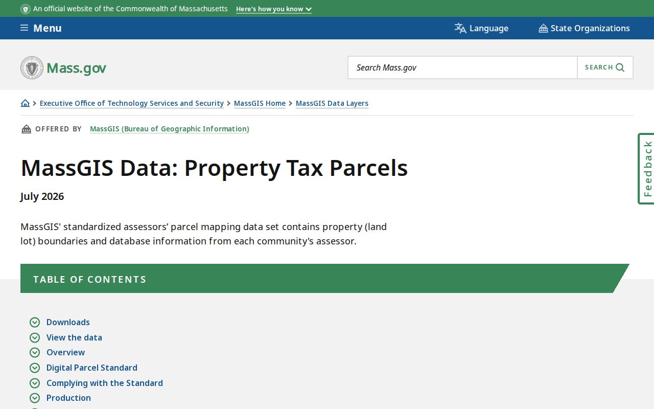
The parcel layer helps test the physical location after postal verification, but its map and municipality fields do not turn a ZIP into a resident list.
When a ZIP has narrowed the mailing question to a street address, use the Holyoke street directory for the parcel, deed, local-list, and historic street trail. Keep each result labeled as postal, owner, voter, or historical evidence rather than combining them into one conclusion.
Holyoke ZIP Boundaries and City Lines
ZIP codes are postal delivery areas, not legal municipalities and not parcel situs. A “Holyoke, MA” mailing city can differ from a legal city or town, while a box can use a Holyoke code without placing its holder at a street parcel. Check city or town, state, ZIP, physical situs, and parcel municipality as separate fields when a record will be compared across agencies.
MassGIS keys its parcel layer to municipality and parcel information. The city assessor works from the address and parcel record. This is why a valid ZIP does not replace a map-lot, a deed legal description, or a city-confirmed situs. Postal geography can overlap or cross other boundaries without making the records inconsistent.
- ZIP code
- A Postal Service routing code used to sort and deliver mail, not a legal property boundary.
- ZIP+4
- An added four-digit delivery segment that makes the postal destination more specific than the five-digit ZIP.
- PO-box ZIP
- A ZIP used for post-office-box service; it does not identify a street parcel for the box holder.
- Unique ZIP
- A ZIP assigned to a particular delivery arrangement or organization, which still requires address-level confirmation.
- Carrier route
- A mail-delivery grouping used by USPS within a postal area, not a resident or parcel list.
Note: Postal and parcel fields can both be correct while identifying different geographic systems for the same mailing address.
Smith’s Ferry ZIP Geography
Smith’s Ferry is a geography check, especially for northern Holyoke research. The area was part of Northampton until it was annexed to Holyoke in 1909. Older deeds, directories, maps, and legal descriptions can therefore carry Northampton or Smith’s Ferry labels. A current ZIP does not erase that earlier jurisdiction.
When an old record seems absent, compare its intersection, map sheet, adjacent owners, and legal description with the modern parcel. This is more reliable than searching only a current city label or assuming that an old postal-style address should resemble a modern one. The 1911 Richard’s Atlas and the 1895 Sanborn map in library holdings offer useful geographic context.
Holyoke Directories Before ZIP Codes
Holyoke’s historical directories predate the ZIP system. The Public Library holds city directories for 1869, 1873 through 1876, and 1882 through 1991, along with printed street lists from 1986 through 2011. For an older address, begin with the city, street, cross street, number, and neighborhood label. Then compare the street section with the alphabetical entry and nearby volumes.
Smith’s Ferry, South Holyoke, a ward, a factory landmark, or a legal lot may be a better older search term than a modern ZIP. The History Room’s directories, municipal registers, newspapers, maps, and yearbooks help bridge the era. Census images and historical directories are dated snapshots, so they should be paired with a deed, map, or another primary record when identity or parcel continuity matters.
Note: A historical directory address can describe a past household or business without supplying a modern postal code.
ZIP Results and Residents
The most important ZIP code directory myth is simple: a USPS result does not prove that a named person or company is at that address. It confirms a postal relationship. It does not show who owns the parcel, whether someone receives mail there, whether they still live there, or whether a particular household is complete.
Use a minimum-record approach. For family history, compare a date-stamped directory entry, map, deed, or vital and probate record through the proper custodian. For civic or property questions, use the assessor, MassGIS, Registry, or a targeted public-records request. Do not publish protected addresses, full sensitive identifiers, or copied lists of people.
Note: A postal result should be preserved as a delivery clue, then compared with the record held by the relevant custodian.
Holyoke ZIP Code Limits
Postal verification can make an address cleaner, but it cannot replace the local record. No verified Holyoke assessor ZIP-browse control exists. MassGIS does not use postal geography as its parcel key. Local voter access has confidential-voter protections, and the state status check is limited to one person with the required information. A box ZIP, mailing address, and situs can all differ without any error.
Massachusetts rules also protect Address Confidentiality Program participants, confidential voters, and other restricted records. Ask the actual custodian what is public, request only the needed record, and accept a redacted response where the law requires it.
Lawful use. Use postal and public records for family history, civic research, property questions, or personal safety. Never use them to stalk, harass, threaten, or harm another person.