
Build a Holyoke Street Directory Trail
For a named street, the useful sequence is address to owner record, GIS, local voter route, deed index, then old directory. It is a record trail, not a roster of everyone in every home. The City of Holyoke assessment material is the current parcel starting point. MassGIS gives the map context. The Hampden County Registry of Deeds supplies the ownership chain, while the City Clerk and the Holyoke Public Library provide separate local-list and historic routes.
- Enter the complete street address in the assessment route and copy the owner of record, situs address, tax mailing address, and parcel identifier exactly as shown.
- Use the parcel identifier or the address in MassGIS to check the street segment, parcel polygon, roads, and municipal boundary. Save the map and lot information before changing sources.
- For registered-voter information, make a dated request to the Holyoke City Clerk for the appropriate list, ward, or precinct. Protected records are withheld.
- Search the Hampden Registry by property, name, book and page, or recorded date to find the deed trail. Use the latest conveyance before moving backward.
- For an older household clue, read the street section in a History Room directory or street list, then compare its alphabetical entry and nearby years.
Each handoff narrows a different issue: parcel identity, owner of record, geographic setting, registered-voter status, recorded transfer, or a printed historical listing. A missing result in one source should not be filled with an assumption from another.
Holyoke Assessor Records by Address
The Holyoke FY2026 Property Assessment Data landing page is the verified city entry point for the parcel route. The accessible page displayed the fiscal-year title, but not a fully inspectable live form. Research confirms the standard owner-name, street or address, and parcel or map-lot paths associated with the city assessment configuration. It does not support publishing unverified button labels, partial-match rules, result sorting, or ZIP-wide browsing.
A property card can distinguish owner of record from the tax-bill mailing address and the situs, or physical parcel, address. It may also expose classification, assessed land and improvement values, exemptions, building information, sale references, or a map link when the city has enabled those fields. An assessed figure is a fiscal tax value. An exemption or mailing address is not proof that a particular person occupies the property every day.
The Holyoke assessment page is the verified starting screen for this Holyoke street directory search.
Use the live card to copy its labels as displayed, then compare the parcel details with the land record rather than treating the landing screen as a complete result.
Note: A separate city address-change form confirms that mailing information is maintained apart from the parcel’s physical address.
MassGIS Along a Holyoke Street
Holyoke has no dedicated official city parcel-viewer URL verified in the research. The reliable public fallback is the MassGIS standardized property-tax parcel resource. Turn on the parcel, road or street-label, and municipal-boundary layers one at a time. A parcel popup can supply a municipality, fiscal year, map or lot identifier, and selected assessor attributes. The exact controls vary with the viewer, so use what the live map displays.
MassGIS is most useful for the street-by-street question when it shows why two similar records may not be the same place. A polygon can reveal an intervening lot, a side-street boundary, or the city edge. Use the map to compare adjoining parcels, then carry the exact map-lot or legal description back to the assessor or Registry. Zoning, flood, and district layers provide context, not resident names.
The MassGIS parcel documentation describes the statewide parcel layer used for the Holyoke street directory map step.
The map is a bridge between a street number and a parcel record, not evidence that a mapped owner lives at that parcel.
Note: Parcel layers can show an owner attribute, but ownership and a person’s current residence are separate facts requiring different records.
Hampden Deed Searches by Street
The Hampden Registry search application has documented modes that make the deed portion of a Holyoke street directory more precise. Use the town control for Holyoke, whose Registry municipality code is HOL, when a town limit is useful. A property or address search can help with documents recorded after January 1, 1948. If a Recorded Land search does not locate the expected record, repeat it in Registered Land before concluding the chain has ended.
| Registry search route | Verified field or control | Useful Holyoke detail |
|---|---|---|
| Name | Party name and party type | Refine a grantor or grantee with first or middle name where available. |
| Property | Town or municipality and property terms | Use HOL to distinguish Holyoke in a county search. |
| Book | Book and page | Retrieves an image once an index reference is known. |
| Document | Document type, year, instrument number | Separates a deed from mortgages, releases, plans, or other instruments. |
| Recorded Date | From and to dates | Limits a broad result set to the likely transfer period. |
| Unindexed Property | Separate property route | Provides another route where the usual indexed search is incomplete. |
Post-1948 records are searchable by name, address, book and page, year and instrument number, and entry date. On a deed, record the grantor, the seller, and the grantee, the buyer, along with the recording date, legal description, plan references, and book-page reference. A mortgage, release, or homestead filing may mention the parcel but is not necessarily a transfer.
The Registry’s official search screen is the source for the deed-index interface used in this address workflow.
Once a book and page are identified, the free image supplies the context needed to test whether the instrument actually concerns the same street parcel.
Older Holyoke Street Directory Deeds
Before 1948, the Registry’s online material is indexed by grantor and grantee name rather than a modern address search. Open the scanned grantor or grantee index, search the surname and an appropriate year range, read nearby entries, and record the book and page. Then retrieve the deed through Book and Page. The Registry’s records reach from 1636 to the present, but the online mechanics change by era.
That detour matters when an old address is missing, a street name is uncertain, or a legal description is stronger than the current number. Search the seller found in the later deed as an earlier buyer, then repeat the chain. Plans and easements can connect a subdivision or changed street layout. The process is slower than a modern property search, but it is grounded in the recorded reference.
- Parcel
- A defined piece of land in the tax map or assessment system, usually tied to a map-lot or similar identifier.
- Situs address
- The physical address assigned to the parcel, used to connect mapping, permits, and property records.
- Plat
- A mapped lot layout, commonly called a recorded plan in Massachusetts, that can show street and lot relationships.
- Criss-cross directory
- A reverse street section that lists addresses before names, allowing an address to lead back to a printed household or business entry.
Note: A name-index hit supplies a book-page lead, not a match, until the deed image and legal description agree.
Holyoke Permits by Street Number
Permit and code material can date work at a building or identify public owner, applicant, contractor, work-description, issue, final, and inspection fields. No official Holyoke searchable permit-result portal with documented fields was verified. The reliable route is a targeted public-records request to the relevant city department or Records Access Officer using the street address, parcel, permit number if known, owner or applicant, and date range.
Ask for a fee estimate and identify whether the request concerns a permit folder, inspection history, or code case. City records can withhold active-investigation, personal-safety, private, juvenile, or other exempt information. A permit record can help date construction, alteration, or demolition, but it does not establish who lived in the building.
Holyoke Street Records at a Glance
Address-keyed sources overlap, but none has the same purpose. Keep the record type and date beside every name. The following coverage table separates the current parcel route from the historic and request-only routes used for a Holyoke street directory.
| Address record | Custodian | What it can establish | Access route |
|---|---|---|---|
| Assessment card | Holyoke Assessors | Owner of record, mailing and situs addresses, parcel and fiscal assessment fields | WebPro entry point or assessor contact |
| Parcel layer | MassGIS | Parcel polygon, map-lot, municipality, fiscal year, selected attributes | Public statewide map and data |
| Deed or plan | Hampden Registry | Parties, instrument, legal description, book-page, recording date | Free online copy, or certified copy by mail or in person |
| Local voting list | Holyoke City Clerk | Registered voter names and addresses, subject to protected-record limits | Dated local request |
| Permit or code file | City department | Public work and case details tied to the address | Targeted records request, searchable portal not verified |
| Street list or directory | Holyoke Public Library History Room | Printed historical address, household, business, and context clues | Reading Room and applicable digital access |
Match the record keys before joining results. A parcel number ties assessment and map data together, while a book and page ties a deed to its image. A shared street name alone is not enough when an older record uses a village name, plan, or a different numbering convention.
Note: Plans can preserve lot and street relationships when present-day addresses do not match the language in a recorded instrument.
Holyoke Voter Lists by Street
Massachusetts offers the Am I Registered? status form for one supplied person. It requires first name, last name, date of birth, and ZIP code. It does not browse an entire street, return every resident at an address, or reveal ballot choices. A match is an individual status result, and a non-match may reflect an incorrect ZIP, spelling, or another protected or record-status issue.
For a street or block question, request a current or historical local voting list from the Holyoke City Clerk at 536 Dwight Street. State guidance makes most voter and election records available through local election offices, but confidential and protected voters must be excluded. Statewide electronic voter data is not a general public download. Include the date, ward or precinct if relevant, scope, format, and desired registration or voting-history fields in the request.
Note: A local voting list identifies registered voters on its stated date, not all occupants, renters, children, or visitors at a street address.
Holyoke Street Directory Shelf
The Holyoke Public Library collections hold city directories for 1869, 1873 through 1876, and 1882 through 1991, plus printed street lists from 1986 through 2011. In a directory street section, begin with the address, copy the printed occupant or business, then turn to the alphabetical entry for spellings, initials, occupation, spouse notation, or an alternate address. Directories are printed snapshots, not complete household counts.
The History Room also has maps, municipal registers, newspapers, yearbooks, and biographical files. Its 1895 Sanborn map and 1911 Richard’s Atlas are especially useful when an industrial landmark, canal, railroad, church, or intersection remains more stable than a house number. Historical street material belongs to a different period and purpose from current parcel data, so it should not be read as a modern resident record.
The library collections page documents the directories and street lists used for this historical address step.
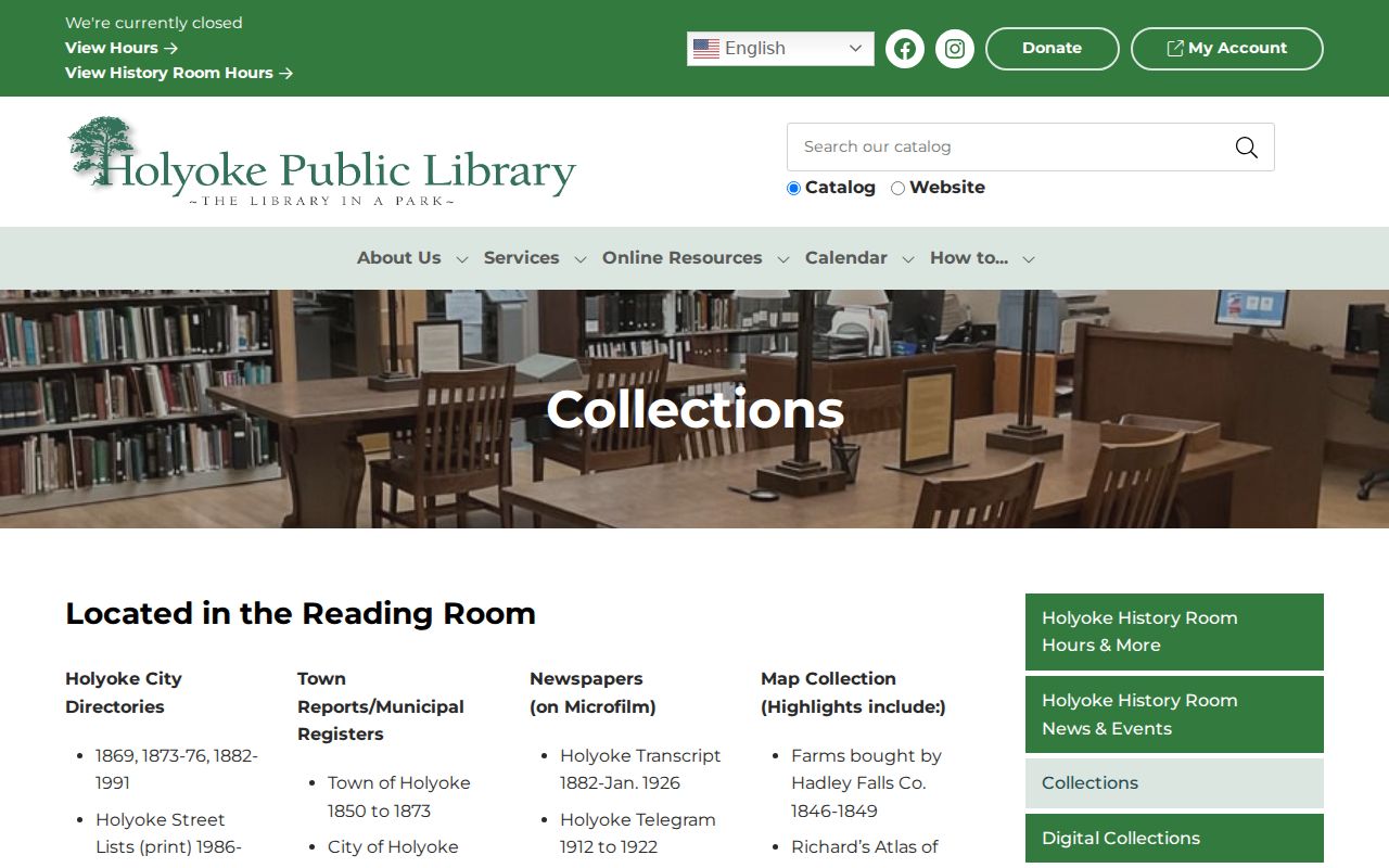
Comparing adjacent directory years often shows a move or a new business listing, but the printed entry must be checked against its date and abbreviation key.
For a deeper reading of those holdings, the Holyoke city directories collect the historical research routes in one place.
Smith’s Ferry Street Records
Smith’s Ferry is the important northern Holyoke exception. It was part of Northampton until its 1909 annexation to Holyoke. A pre-1909 deed, directory, map, or legal description may therefore use Northampton or Smith’s Ferry rather than the current city label. That is a jurisdiction bridge, not evidence that the record is unrelated.
Compare cross streets, nearby owners, map sheets, and the legal description before discarding an older hit. Holyoke’s planned central grid, village areas, and industrial districts developed in different ways. No verified official citywide street-renumbering or renaming chronology was found, so a suspected number change should be proved with an atlas, directory, deed, and city records rather than asserted from a single search result.
Note: Without a verified renumbering chronology, an old number is a research question rather than a final conclusion.
Holyoke Street Directory Registry Tips
Official Hampden Registry document images are free online. Certified copies cost $1 per page when ordered in person or by mail. That distinction matters when a mailer offers a costly deed copy: first check the Registry’s official search or call the Registry rather than paying for a document that can be viewed online. A certified copy serves a different purpose from a free reference image.
The Registry’s property-fraud alert is also often misunderstood. It searches names, not street addresses, and may send same-name alerts. Subscribe using the names relevant to a property, then verify any alert by reviewing the recorded instrument. The alert is not a title search and does not prove a person owns or resides at the address.
Limits of a Holyoke Street Directory
An address trail can identify a parcel owner, a past printed listing, a registered voter on a dated local list, or a party to a recorded document. It does not show every household member. Renters, children, lodgers, visitors, private association members, utility customers, delivery customers, and many protected people are not a public address directory. A mailed tax bill can go to a trustee, company, post-office box, or another municipality.
Massachusetts protections can also limit voter, court, vital, and address data. Address Confidentiality Program participants and confidential voters have special safeguards. Deed images may need redaction treatment, and motor-vehicle personal information is not a public address-search source. Ask the custodian which fields are public instead of seeking a broad personal file.
Lawful use. Use Holyoke address records for family history, property research, civic questions, or personal safety. Do not publish sensitive details or use any record to stalk, harass, threaten, or harm another person.